SERVICES

Documentation Built Around Your Project, Property, or Facility.

Genesis Studios combines aerial, terrestrial, and spatial capture to create useful visual records for construction, operations, property evaluation, and long-term reference.

FIELD RECORD / 01

Core services

Documentation for Every Stage of the Built Environment.

From active construction to ongoing operations and property evaluation, Genesis Studios creates visual records designed around how the information will actually be used.

01FIELD RECORD / 01
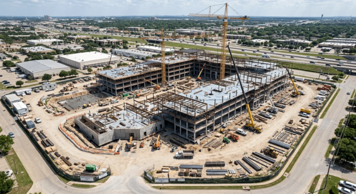
Active commercial construction site with structural steel, cranes, equipment, and surrounding roads.

Construction Documentation

Consistent aerial and ground documentation that creates a clear visual record of construction progress, milestones, site conditions, and project development.

Capabilities

Aerial Progress · Ground Documentation · 360° / 3D Capture · Milestone Records
02FIELD RECORD / 02
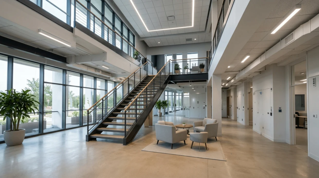
Wide-angle commercial interior with staircase, lobby, corridors, doors, and windows.

3D & Spatial Documentation

Interactive 3D and visual documentation that captures existing conditions and creates accessible digital records of physical spaces.

Capabilities

Interactive 3D Walkthroughs · Existing Conditions · Floor Plans · Spatial Records

03FIELD RECORD / 03
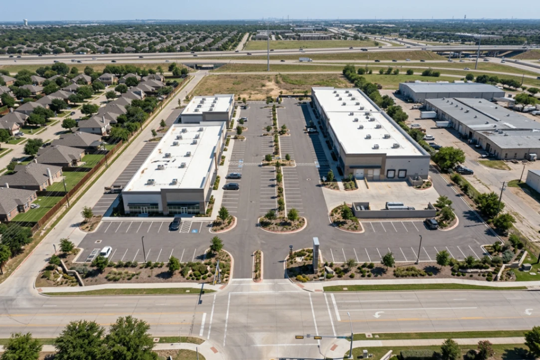
Aerial facility documentation showing two long commercial buildings, loading areas, parking, roads, and highway context.

Facility Documentation

Organized visual records of facilities, equipment, spaces, and critical infrastructure that support operations, maintenance, renovations, and institutional knowledge.

Capabilities

Facility Records · 3D Documentation · Asset & Equipment Context · Ongoing Updates

04FIELD RECORD / 04
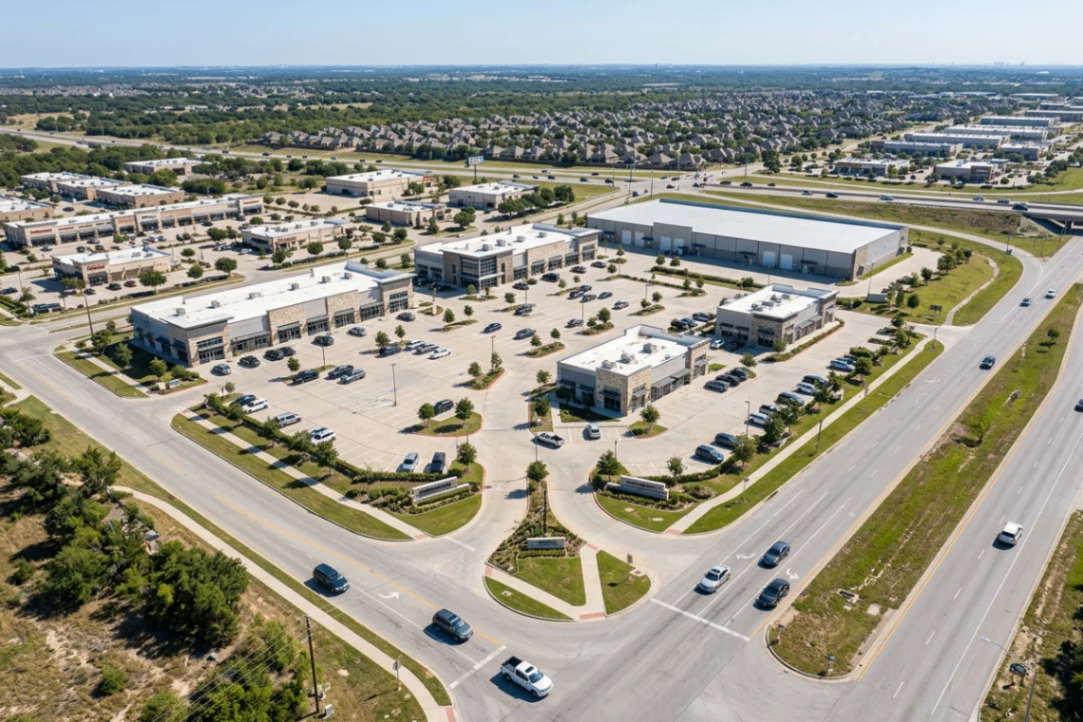
Aerial commercial property documentation showing a multi-building development, parking, roads, and highway access.

Commercial Property Documentation

Professional aerial, ground, and interactive documentation for commercial properties, portfolios, leasing, marketing, due diligence, and property management.

Capabilities

Commercial Photography · Aerial Photo & Video · 3D Walkthroughs · Property Context

CAPTURE METHODS

The Right Perspective for the Information You Need.

Genesis Studios combines multiple capture methods to create a more complete record of a project, property, or facility.

01 — AERIAL

Site context, progress, exterior conditions, property relationships, and large-area visibility.

02 — TERRESTRIAL

Ground-level details, interior and exterior conditions, equipment, finishes, and areas that require closer documentation.

03 — SPATIAL

Interactive 3D walkthroughs, 360° environments, floor plans, spatial context, and remotely accessible records of physical spaces.

TECHNICAL DELIVERABLES

Capture Once. Support Multiple Workflows.

Depending on project requirements, captured spatial data can be delivered in formats that support documentation, design, planning, and downstream AEC workflows.

01

STANDARD & SPATIAL OUTPUTS

  • Interactive 3D Walkthroughs
  • Floor Plans
  • Point-Cloud Data
  • E57 Files
  • MatterPak / 3D Data Assets

02

AEC OUTPUTS AVAILABLE BY REQUEST

  • CAD Files
  • BIM / Revit Models
  • Reflected Ceiling Plans
  • Additional Project-Specific Formats

Available outputs depend on the capture method, project requirements, and requested level of processing. Some technical deliverables are produced through specialized processing partners.

NEED TO DOCUMENT A PROJECT OR PROPERTY?

Start With What You Need to Understand.

Tell us about the project, property, facility, or information you need to capture. We'll help determine the appropriate documentation approach.

Request a Quote →