MULTIFAMILY
How Visual Documentation Supports Multifamily Property Operations
How Visual Documentation Supports Multifamily Property Operations
Multifamily property operations depend on clear information. Your team needs to understand building layout, unit conditions, site access, common areas, and change over time. When those details live in scattered photos, outdated plans, and field notes, decisions slow down.
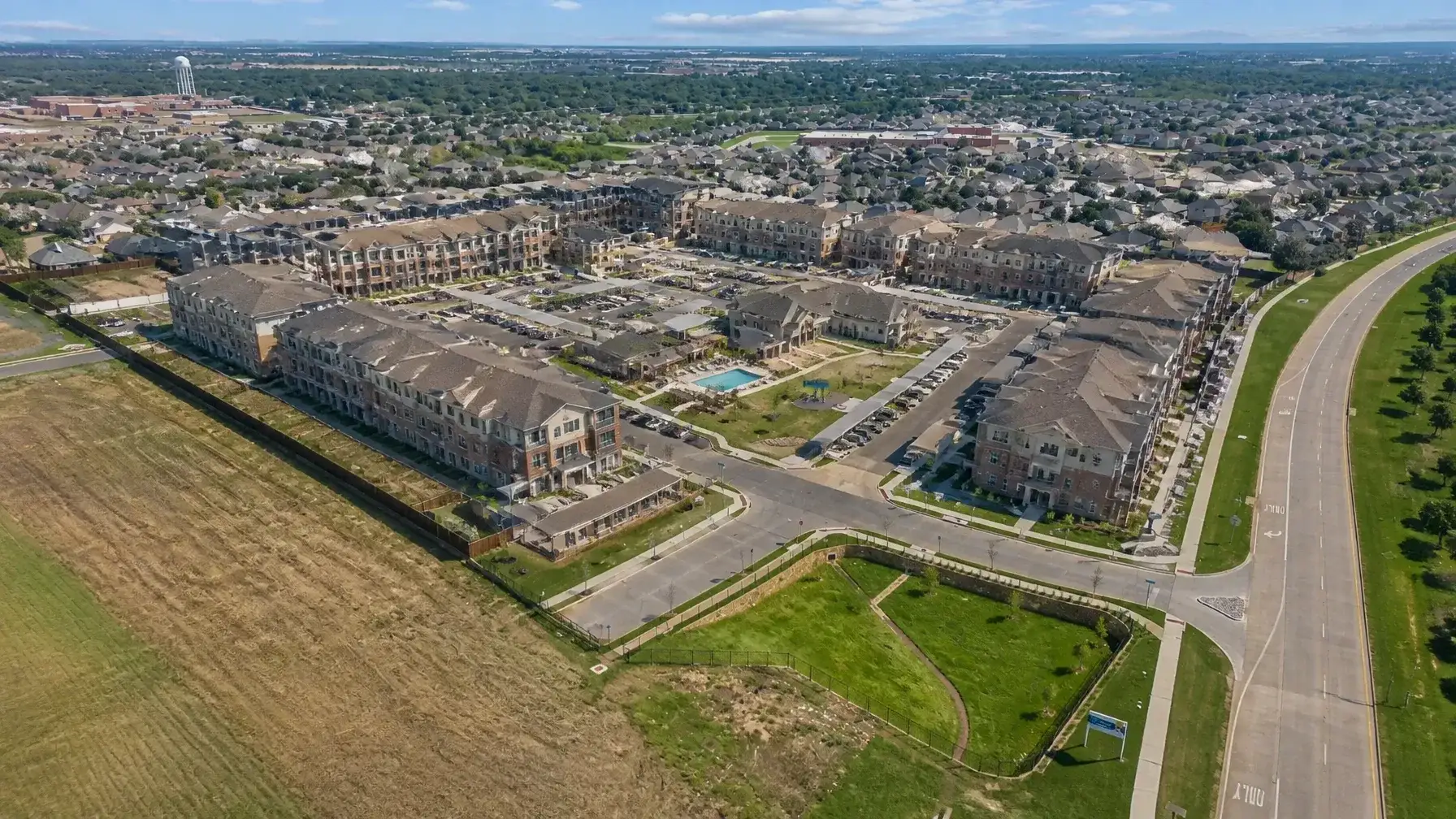
Visual documentation gives you a current visual record of the property. It can include aerial imagery, 3D reality capture, walkthrough views, floor plan outputs, and mapped site context. Used well, it supports planning, maintenance coordination, renovations, and handoffs between teams.
This matters in active multifamily environments because properties change constantly. Units turn. Amenities get updated. Exterior work happens in phases. Vendors need context before they arrive. Ownership groups need visibility without repeated site visits.
This article explains how visual documentation supports multifamily property operations, where it fits into day-to-day workflows, and how Genesis Studios approaches capture for the built environment.
What Visual Documentation Means in Multifamily Operations
Traditional plans show design intent. Operational teams often need something different. They need a current spatial reference that reflects how the property appears at the time of capture.
For multifamily properties, visual documentation may include:
- Aerial site imagery that shows roofs, parking, access routes, site features, and building relationships.
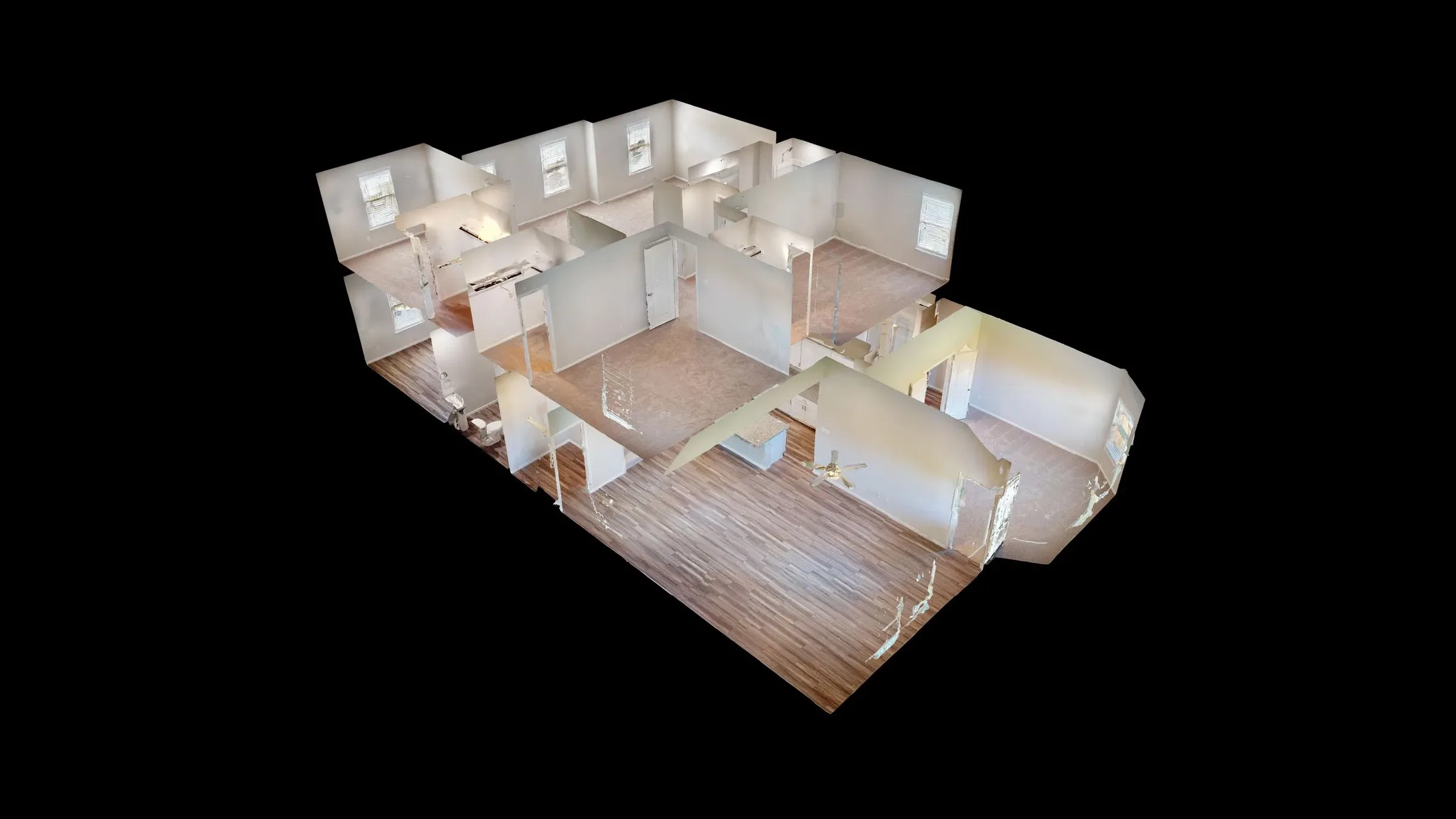
- 3D interior capture that creates a remotely accessible environment for units, leasing areas, corridors, and amenity spaces.
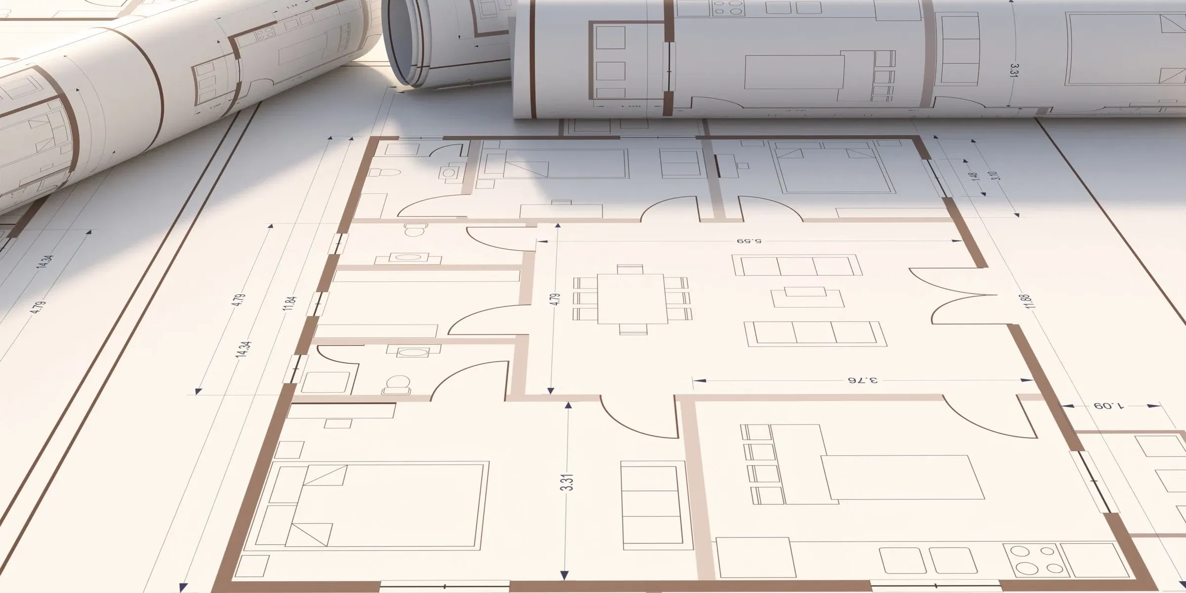
- Floor plan outputs that help teams understand layout without relying only on legacy drawings.
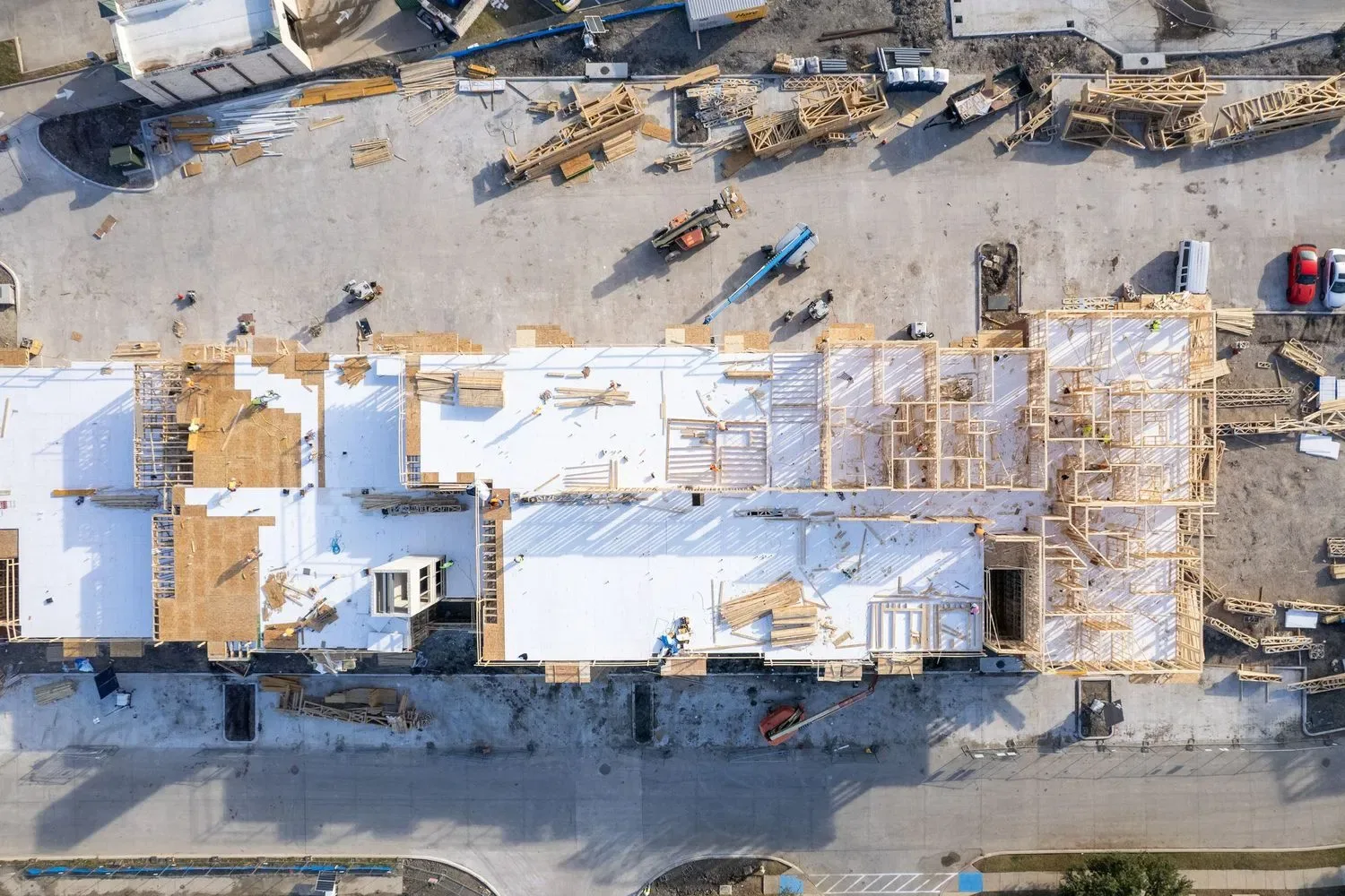
- Progress and existing-condition records that support renovation planning, owner reporting, and contractor coordination.
Support Unit Turns and Vendor Coordination
Unit turns move faster when vendors can see the space before arrival. That does not mean documentation replaces field confirmation. It means your team can reduce avoidable back-and-forth and improve scope alignment early.
Capture a visual record of unit interiors so you can:
- Share layout context remotely with painters, flooring teams, millwork vendors, and other trade partners.
- Reduce unnecessary site visits during estimating and planning.
- Compare conditions between units when standardizing renovation scopes across a property.
- Document pre-work conditions before repairs, upgrades, or tenant turnover activity begins.
A remotely accessible environment is especially useful when decision-makers are off-site. Regional managers, ownership groups, and outside vendors can review the same captured layout without waiting for another walkthrough.
Used this way, 3D reality capture supports communication. It helps your team ask better questions earlier. It also creates a reference point if scope changes later.
Improve Maintenance Planning and Existing-Condition Records
Maintenance teams often inherit incomplete information. Original drawings may be outdated. Turnover between ownership groups may leave gaps in records. Field teams then spend extra time confirming what is on site before work begins.
Usable visual records give your operations team a current view of the property. Interior scans and aerial documentation can help you:
- Reference equipment locations in mechanical rooms, utility spaces, corridors, and service areas.
- Review access routes before sending vendors into occupied properties.
- Document existing conditions before opening walls, replacing finishes, or starting repair work.
- Create a consistent archive of units, common areas, and building systems as they appear at the time of capture.
This is not a substitute for licensed trades, inspectors, engineers, or code officials. It is a practical support tool. When documentation is available, the professionals responsible for maintenance decisions can review conditions with more context before they mobilize.
For older multifamily properties, that context can be as valuable as the capture itself. A visual record helps preserve institutional knowledge that might otherwise leave with staff turnover or ownership changes.
Plan Renovations and Capital Projects with Better Context
Renovation work creates coordination problems fast. Teams need to understand what exists, what is changing, and which areas remain occupied. Visual documentation helps establish that baseline.
Captured site context and interior records support renovation planning.
Exterior Scope Planning
Aerial documentation can support planning for:
- Roofing projects
- Façade repairs
- Parking lot and site work
- Landscape and drainage reviews
- Phased exterior improvements across large properties
Wide site views help ownership groups, contractors, and consultants discuss the same conditions from the same reference point. That can simplify scoping conversations, especially when stakeholders are not local.
Interior Upgrades and Repositioning
Interior 3D capture can support:
- Amenity renovations
- Leasing office updates
- Model unit planning
- Clubhouse and corridor refreshes
- Existing-condition review before design work begins
For design teams, a captured layout provides a practical starting reference. For operators, it creates a record of what was there before work started. That is useful when comparing phases, reviewing changes, or preparing internal approvals.
Support Property Handoffs and Team Transitions
Multifamily properties change hands between management teams, ownership groups, and staff over time. When that happens, institutional knowledge can disappear with the people leaving. Visual documentation helps preserve a practical reference that new teams can use.
A documented visual record can help:
- Bring new property-management teams up to speed with a shared view of the property
- Give off-site ownership a visual reference for current conditions
- Document conditions at a defined point in time for future comparison
- Preserve property knowledge through staff or management changes
- Create a visual baseline before repositioning, renovation, or capital work begins
How Genesis Studios Approaches Multifamily Documentation
Genesis Studios provides visual documentation and reality capture for the built environment. For multifamily properties, that means helping you document current conditions through aerial capture, 3D reality capture, and related visual outputs that are easy to access and share.
The focus is straightforward: creating usable visual records that support property operations, project planning, and communication across teams.
A typical approach includes:
- Scoping the capture need based on the property, access conditions, occupied status, and intended use.
- Capturing the site with the appropriate mix of aerial and interior documentation.
- Delivering usable outputs such as imagery, walkthrough environments, floor plan outputs, and site context materials.
Conclusion
Multifamily operations run better when your team can see current conditions clearly. Visual documentation supports that goal by giving you a shared reference for unit turns, maintenance planning, renovations, property handoffs, and ownership communication.
The value is practical. Your team spends less time relying on fragmented records and more time working from a documented view of the property as captured.
Have a project that needs documentation? Contact Genesis Studios to discuss the appropriate capture approach.